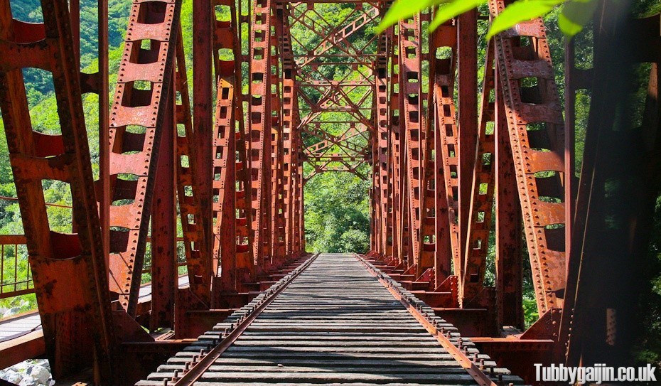
This is a popular hiking route in Kansai, I originally saw it over on Japannewbie’s site and have wanted to do it for a long while. The route follows a section of an old train line which has been out of operation for over 25 years.
Here are some videos from when the line was still in operation:
Video 1 Video 2
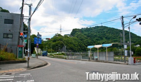
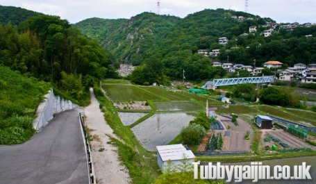
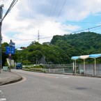
We started at Namaze railway station, there’s a convenience store nearby, so it’s a good place to stock up on food and drink. From here it’s about a 20 minute walk to the start of the hiking route – here’s a map from Namaze station to get you there:
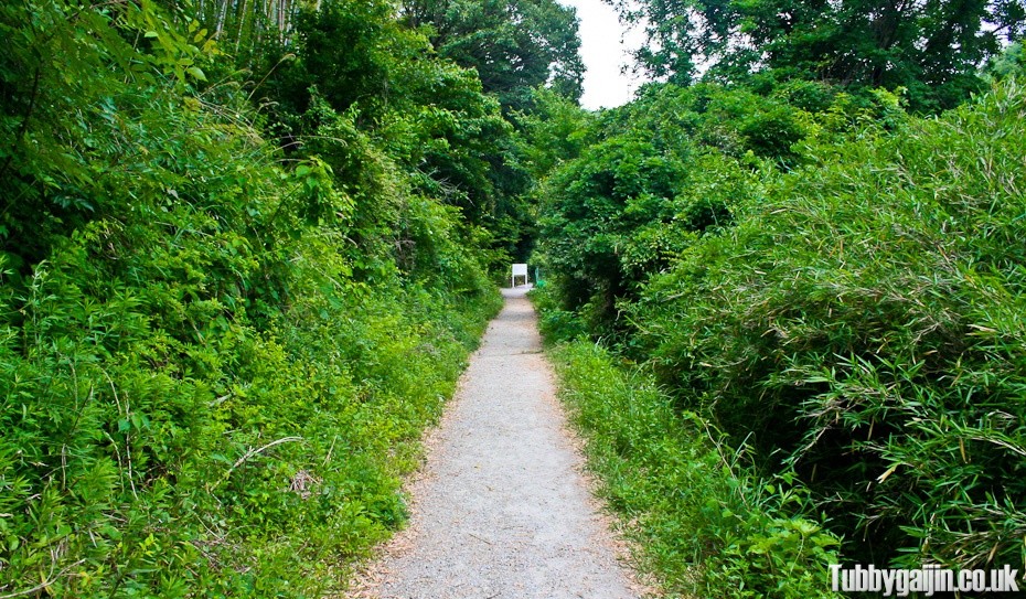
Arrival at the start of the route, straight line from here to Takedao! There are some large signs, which afterwards I learned from a friend say it’s not maintained and is not a hiking route, but don’t worry, it’s used all the time and is in decent condition I’d imagine these signs are just a disclaimer.
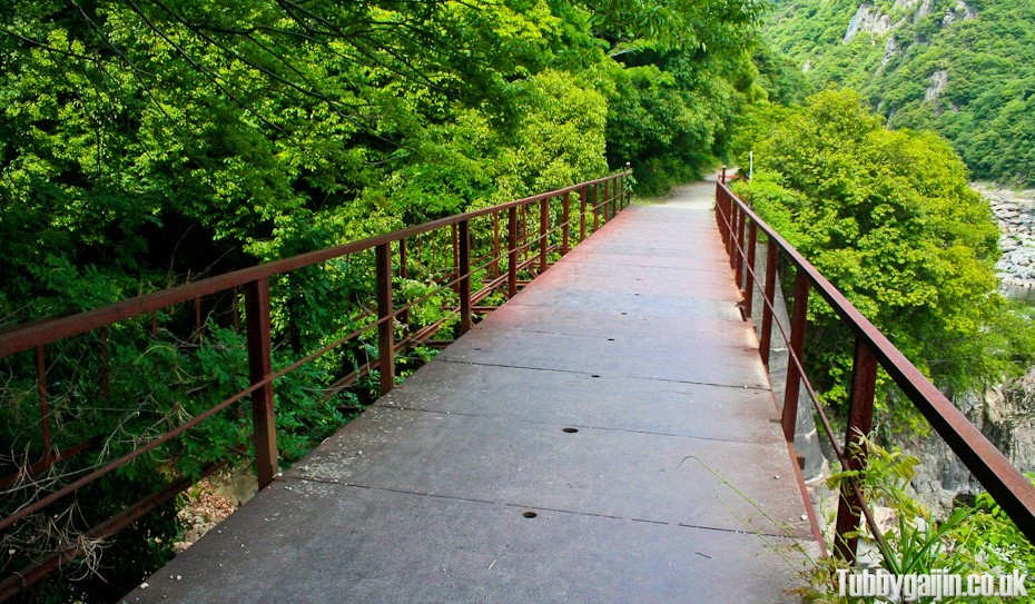
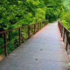
First bridge, old but sturdy.
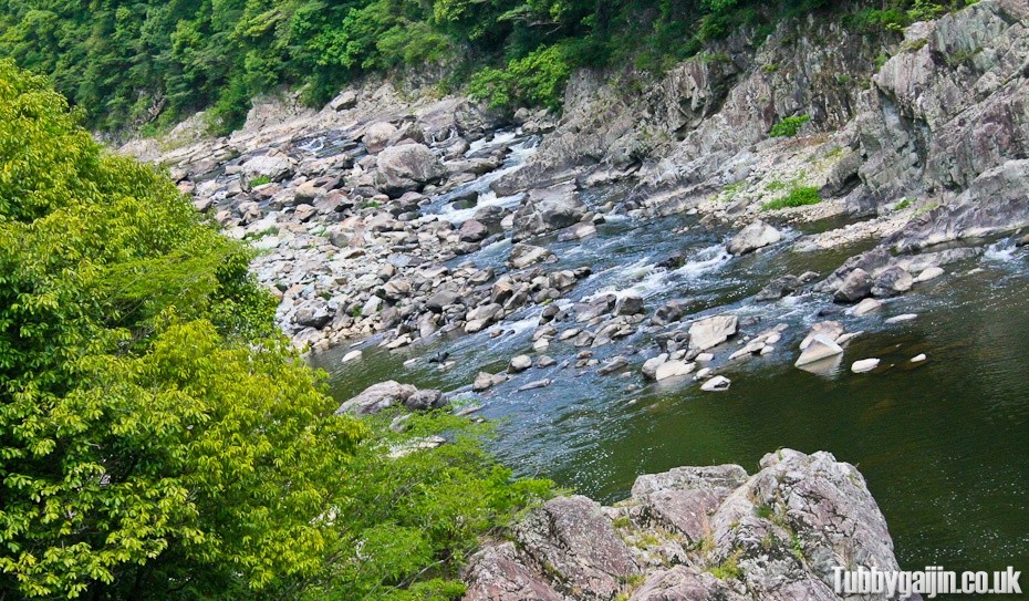
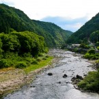
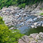
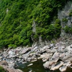
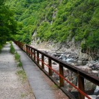
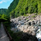
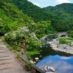
The route follows this fast running river, the sound of water crashing against the rocks was pretty intense in places.
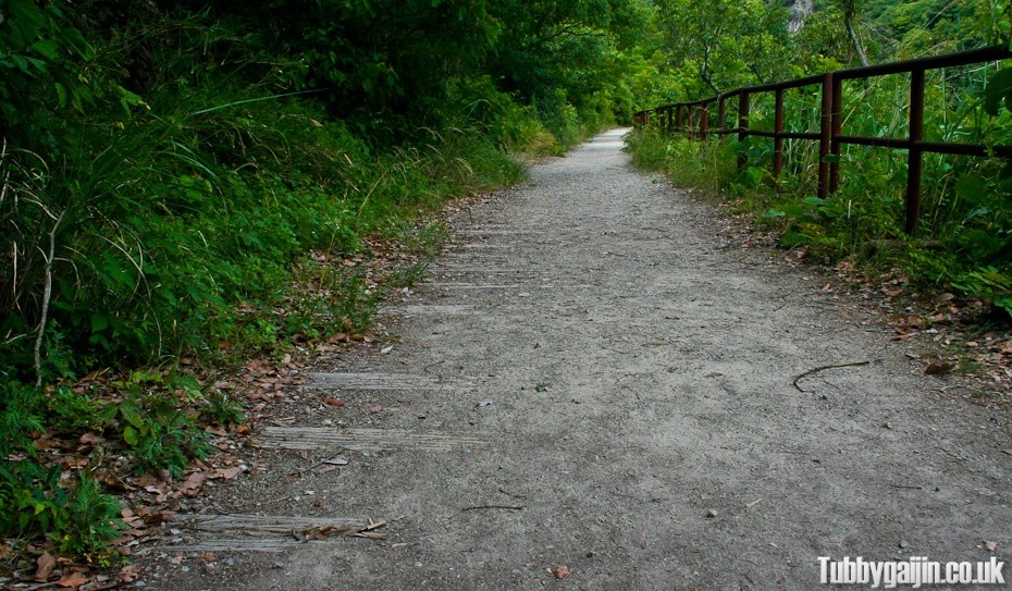
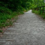
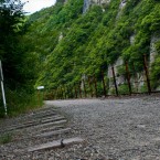
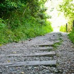
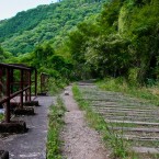
Plenty of reminders of what this route was remain, here some sleepers are just visible in the path.
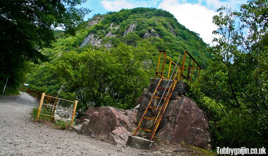
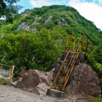
A platform-thingy, presumably some kind of signal might’ve stood here too.
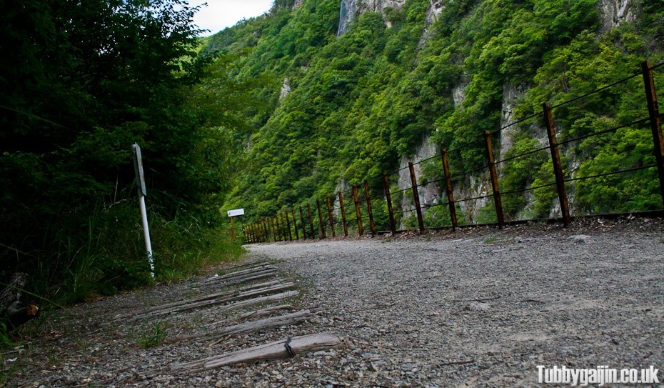
More sleepers trainling off into the undergrowth…
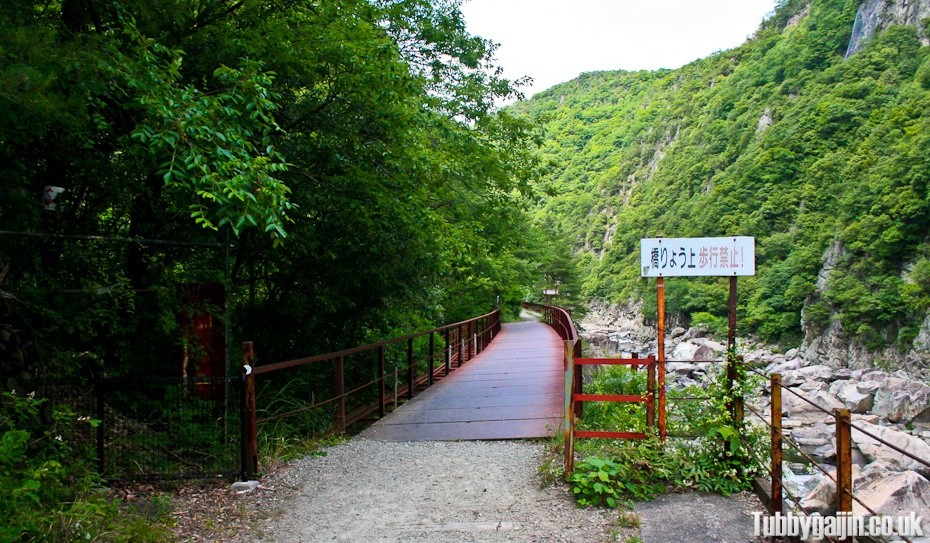
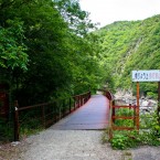
Another bridge and another no crossing sign, meh, onward!
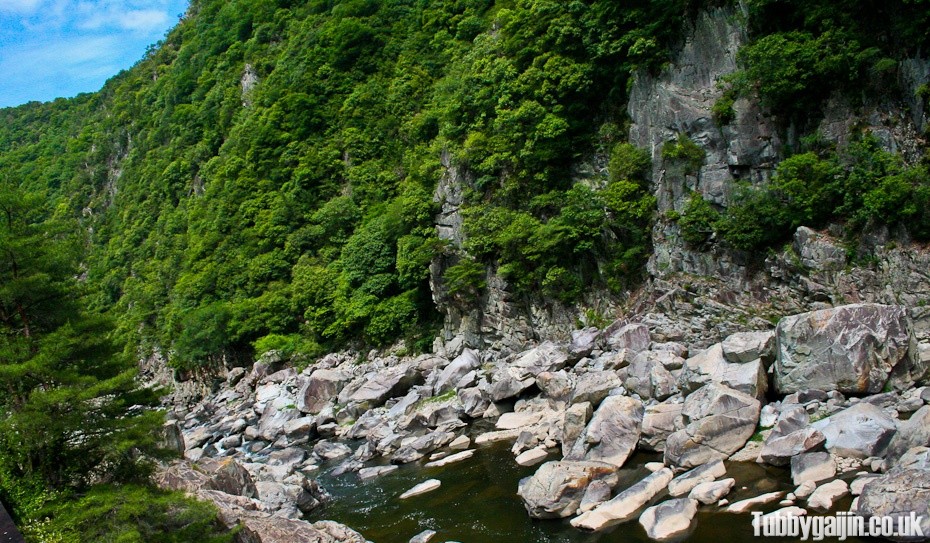
I would’ve loved a refreshing dip, but the river was pretty far down from the track with no visible way down.
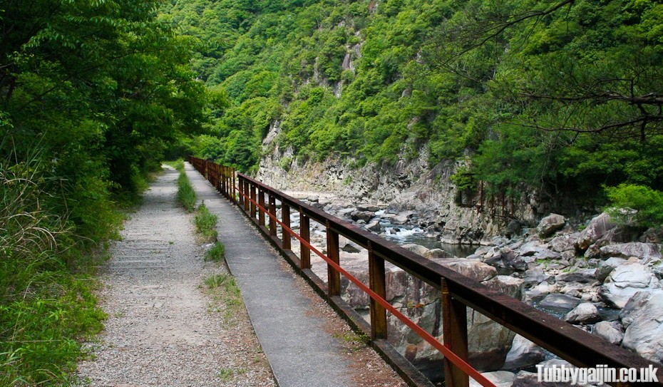
Around about here I saw a snake slither into the grass, no idea what kind but most native to Kansai are harmless to humans.
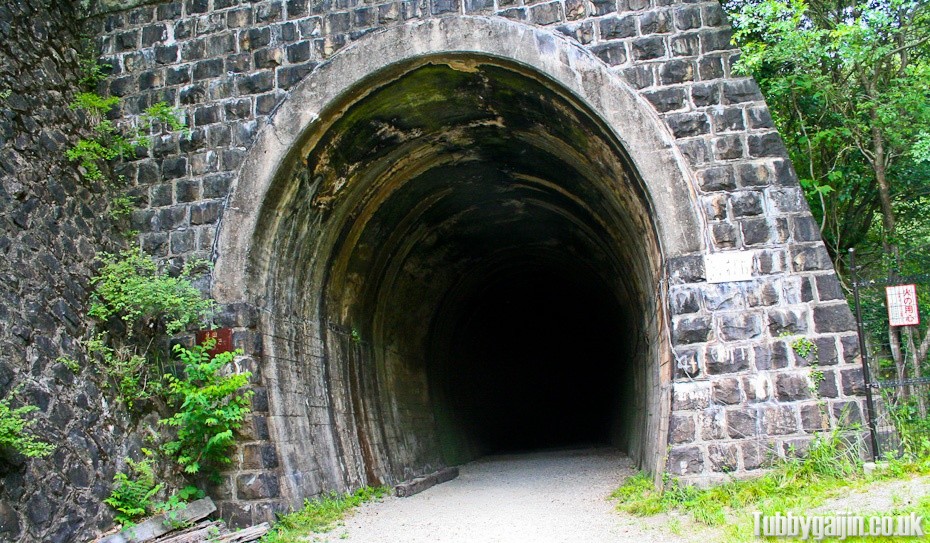
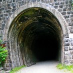
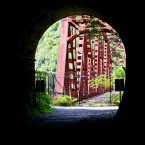
First tunnel! In total there are six on the route, some short, some really really long. The only light is what you bring along, my iPhone worked just fine for me.
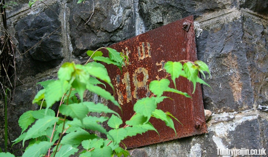
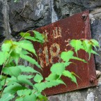
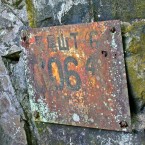
The designation plaque has seen better days.
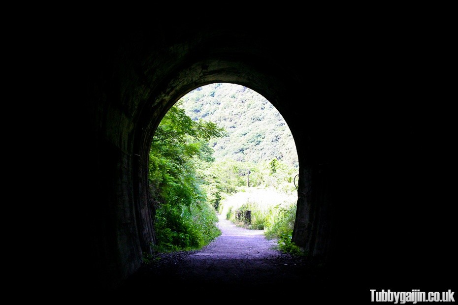
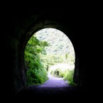
It was nice and cool in the tunnels, surprisingly neither of us found it too creepy.
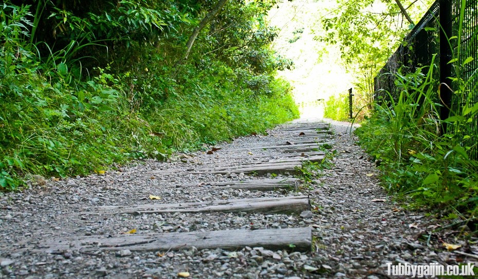
Still a long way to go!
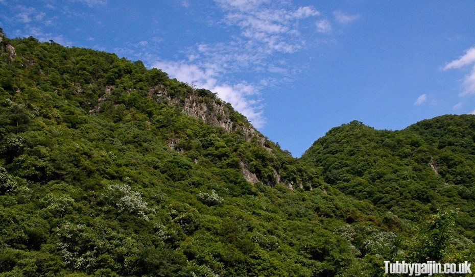
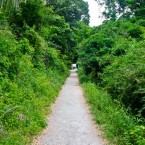
Beautiful weather and scenery, not a building in sight.
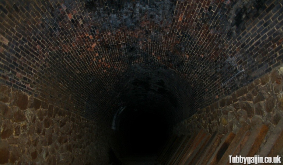
The second tunnel was significantly longer, so much so no light was visible from either end for a while. Just as well our torch batteries lasted.
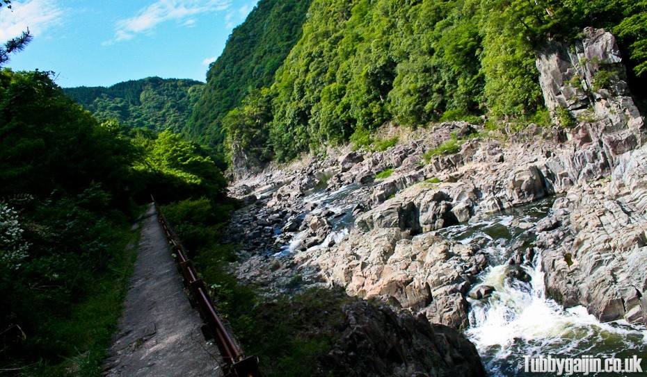
We came across another one of the platforms, so I hopped up to get a wide shot of the river and trail.
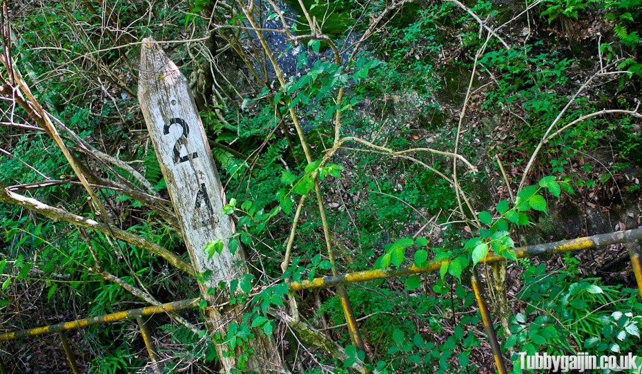
Old railway features continued to dot the route. We hit another tunnel shortly after, which led to my highlight of the hike…
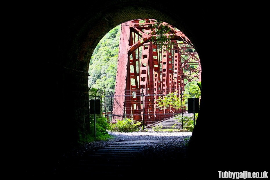
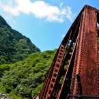
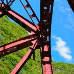
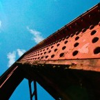
This amazing bridge! You can’t cross over on the tracks, but there’s a walkway to the left hand side which gets you across no problem.
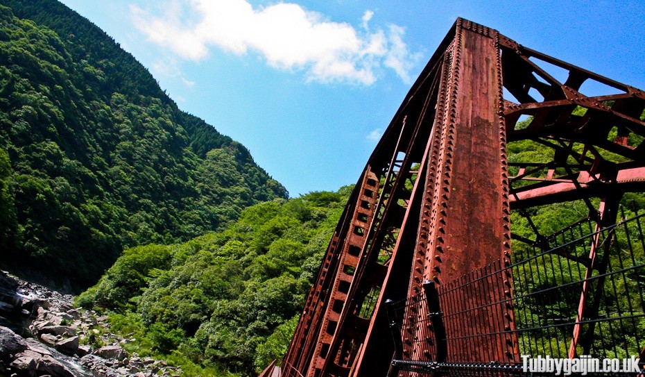
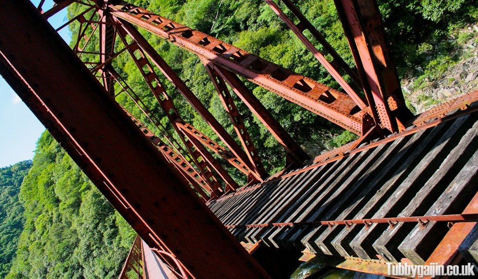
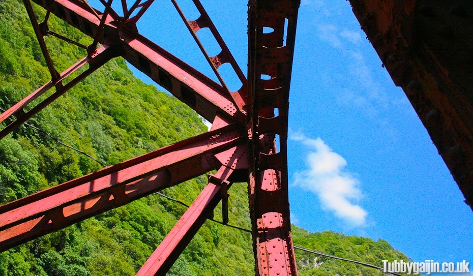
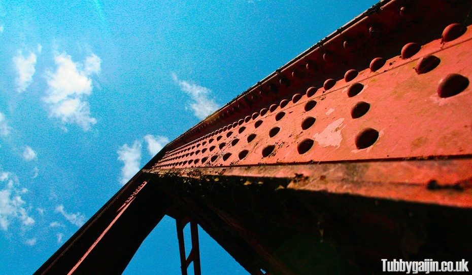
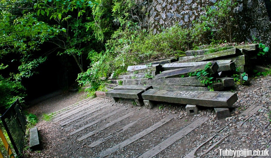
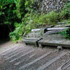
These sleepers at the far side of the bridge made a pretty good seat, so we stopped here for lunch. I tried to find a way down to the river, but it looked a bit steep – getting down would be no problem, but getting back up looked really tough so I didn’t bother. The bridge is towards the end of the trail so we carried on towards Takedao.
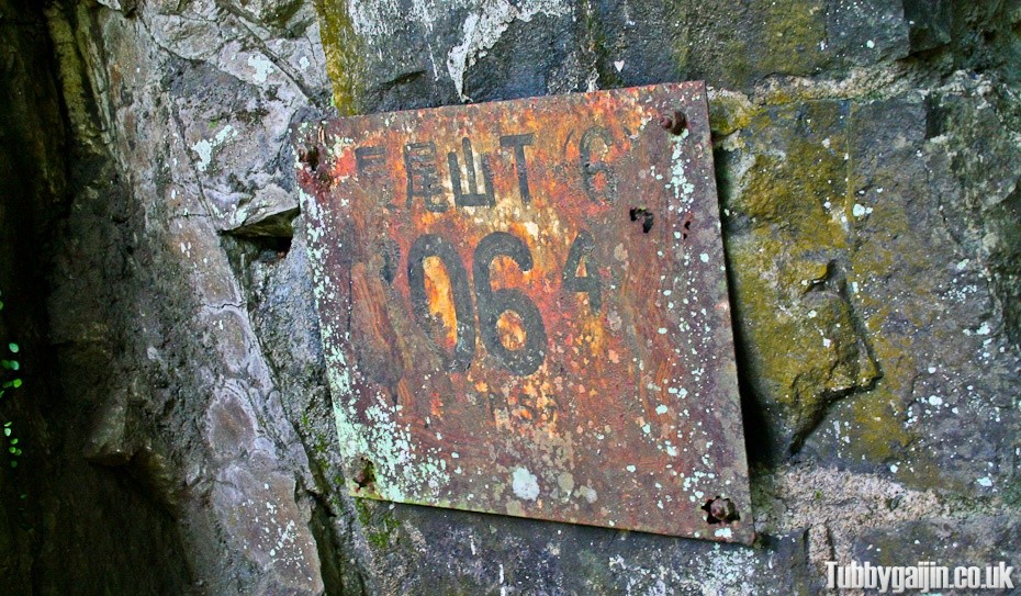
Tunnel four or five, I lost count!
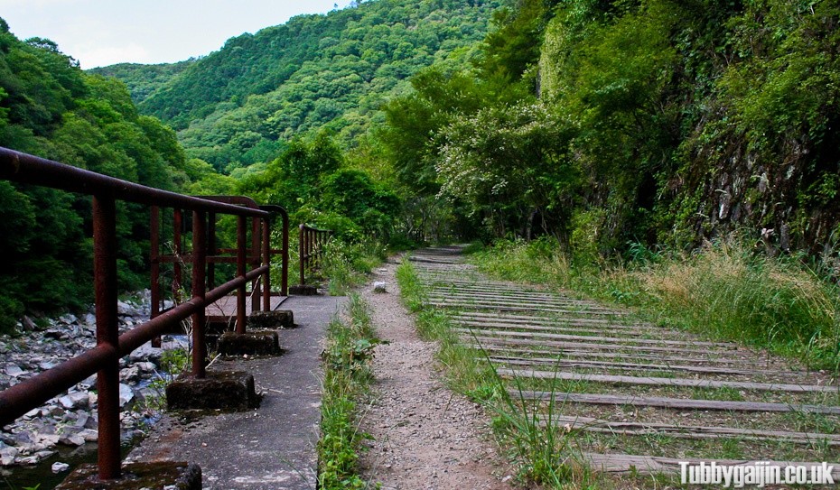
The sleepers in this final section were the most exposed and in best condition by far, this bit really felt like walking down a railway line.
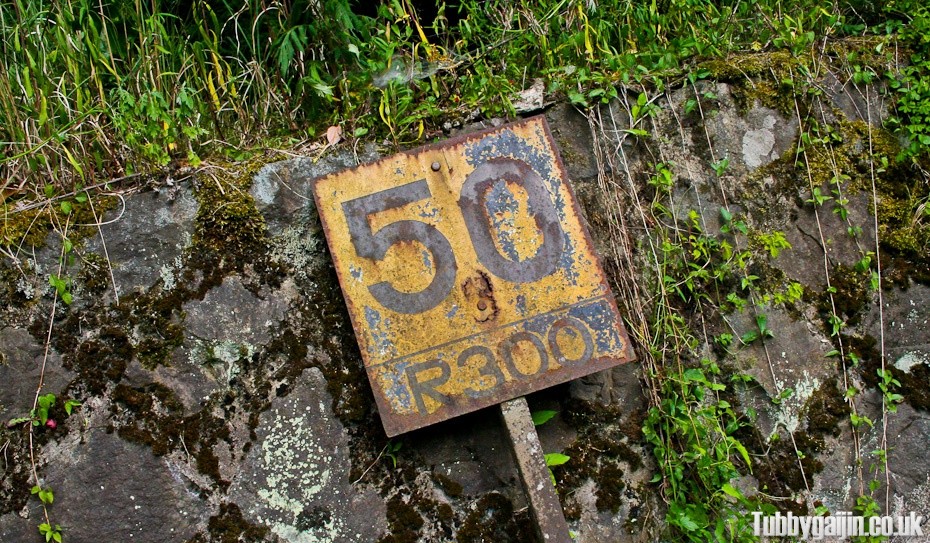
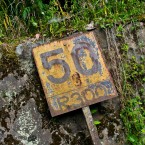
No chance of anything exceeding this speed limit anymore.
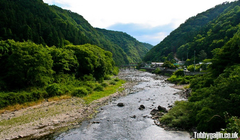
We turned a corner and there was Takedao! Civilisation! We made it!
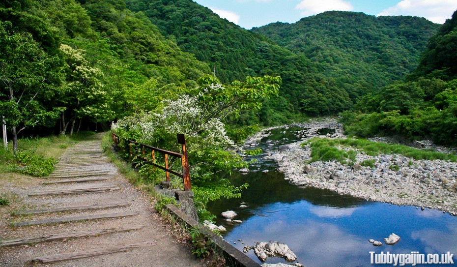
Looking back on the route, who would’ve thought this kind of place existed so close to Osaka?!
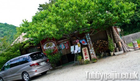
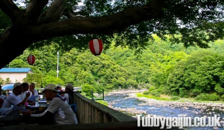
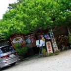
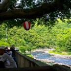
There’s a small restaurant at the end of the trail with a nice view of the river, so we stopped off for a beer and some food to reward ourselves!
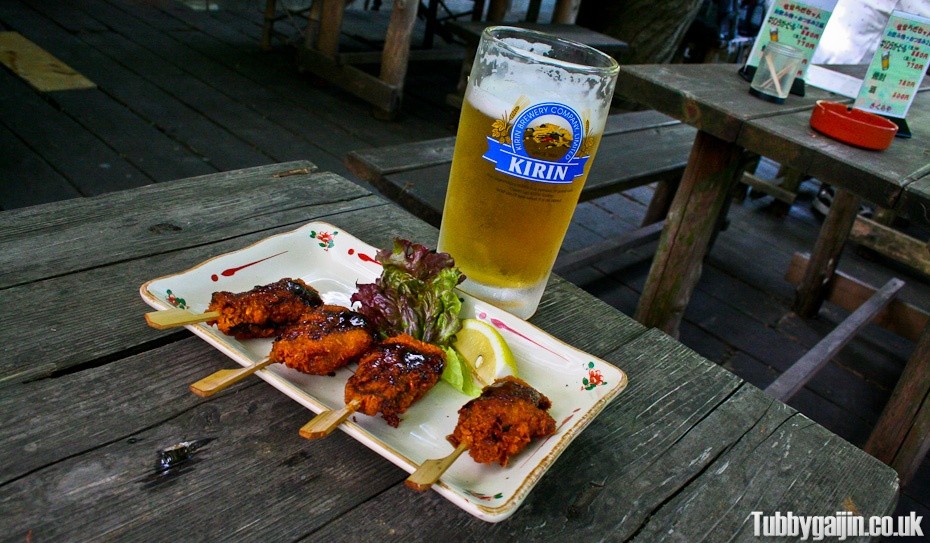
Being pretty tired I didn’t pay too much attention to the menu, there were also plenty of kanji I didn’t know. I saw 串カツ(Kushikatsu) and settled for that, the owner confirmed my order out loud – “Shika no kushikatsu” and off she went. But wait, Shika… I know that word… oh heck… DEER! Did I just eat Bambi?! Uh oh… It was quite delicious though…
Overall, this wasn’t a difficult hike, even for me! It took us a few hours in total, at a guess I’d say it’s about 5 or 6km in length and the views are brilliant. Be sure to bring a torch along and plenty to drink if you tackle it this time of year!

Seems like a pretty cool hike, wish I had known about it when I was in Japan. Seems like it might be a bit creepy to be walking it alone though!
Maybe next time! When were you over here??